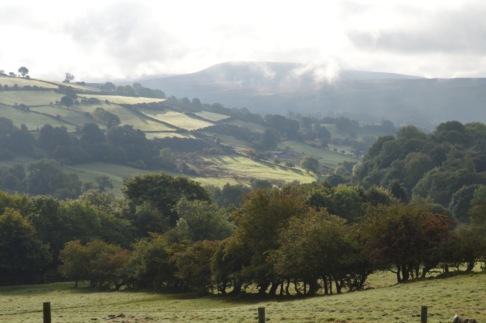
Day 15: Blakey Ridge to Grosmont
Miles today: 14.29
Total mileage: 204.69
Today was one of the few days that didn't start with a climb uphill. We were already at a high elevation. We're only a few miles fom the sea, but still have over 30 miles to walk. As we've learned, Wainwright never took the direct route when a diversion of a few miles might have a view of something interesting. Sadly, today our views were once again obscured by fog. It felt like we were walking in a tunnel.
One good thing is that we're heading back into civilization. It was three days ago in Osmotherley that we last saw a shop of any kind. Jim came down with a cold and our goal today is to get to Grosmont before the Village Co-op closes so he can get some medication.
As we got lower, the fog lifted a bit but we had missed our chance to view the sea. Here, just more farms and sheep.
When we got to the village of Glaisdale, we came to the River Esk. There is a charming bridge called the Beggar's Bridge. The story goes that a poor man was trying to cross the river to see his sweetheart but the river was flooded and he couldn't cross. He missed his opportunity, went away, made his fortune and came back to marry the girl. He then built the bridge so a flooded river wouldn't stop anyone else's chance for love.
Tomorrow will be our last day of walking. I'm not sure my knees could take much more. It's hard to believe it will be over but it seems like we've been walking a LONG time!
Showing posts with label moors. Show all posts
Saturday, October 3, 2015
Monotony
Day 14: Clay Bank Top to Blakey Ridge
Miles today: 11.03
Total mileage: 190.4
This morning Wolfgang and the dogs dropped us off where they picked us up last night. The dogs took off up the hill with Wolfgang right behind. We got our gear, strapped on our backpacks and headed up the hill. We had gone a short way when I checked the GPS and realized we were on the wrong path so we turned around. About that time Wolfgang showed up again and said, "this is the path for locals, your path is on the other side of the fence." Of course "our" path was steeper and rockier!
So once again we climbed back up to the moors. We had hoped to have some nice views but had heavy fog.
The walking today has been the easiest by far. After leaving the Cleveland Way, the C2C follows an abandoned railroad bed so it is flat and we won't have to think about navigation.
Even though it was clear and sunny up high where we were walking, it was still foggy in the valleys so we couldn't see much of anything. Pretty much the whole day we saw only heather and hundreds of grouse.
This part of the route is so remote that the only thing around is one pub, The Lion Inn; no shops or anything. We're hoping tomorrow will be clearer so we'll finally be able to see the North Sea.
Miles today: 11.03
Total mileage: 190.4
This morning Wolfgang and the dogs dropped us off where they picked us up last night. The dogs took off up the hill with Wolfgang right behind. We got our gear, strapped on our backpacks and headed up the hill. We had gone a short way when I checked the GPS and realized we were on the wrong path so we turned around. About that time Wolfgang showed up again and said, "this is the path for locals, your path is on the other side of the fence." Of course "our" path was steeper and rockier!
So once again we climbed back up to the moors. We had hoped to have some nice views but had heavy fog.
The walking today has been the easiest by far. After leaving the Cleveland Way, the C2C follows an abandoned railroad bed so it is flat and we won't have to think about navigation.
Even though it was clear and sunny up high where we were walking, it was still foggy in the valleys so we couldn't see much of anything. Pretty much the whole day we saw only heather and hundreds of grouse.
This part of the route is so remote that the only thing around is one pub, The Lion Inn; no shops or anything. We're hoping tomorrow will be clearer so we'll finally be able to see the North Sea.
Friday, October 2, 2015
What Doesn't Kill You
Day 13: Osmotherley to Clay Bank Top
Miles today: 16.12
Total miles: 179.37
This was by far our toughest day--we both thought it was even more difficult than the climbs in the Lake District. Jim's Fitbit confirmed it. We ended up climbing way, way more flights of stairs today than any other day!
Today's walk started with a two mile climb out of Osmotherley (what else is new?).
It was a little hazy early in the morning so we couldn't take advantage of the beautiful views. Once we reached the top, the C2C path combines with the Cleveland Way through the moors.
We descended the hill then walked through a forest for a few miles. It was really pretty with the fog peeking through.
I could tell from the guidebook that we would be going up and down several times today (six to be exact). What I couldn't tell though was just how high and low each climb would be. At first we were excited because we were able--just barely--to see the North Sea, our ultimate destination only three more days away.
Soon, though, it was very hazy and we really couldn't see much of anything even though we were very high on the moors. The air smelled of smoke and we kept thinking we would walk out of it but found out it was controlled burning of heather. Unfortunately, it was with us all day so we never got to see the gorgeous vistas we worked so hard for.
Every time we went up our lungs screamed and every time we went down our knees screamed. On every descent, the guidebook said "very steep". No kidding! These paths looked straight down. On the last ascent we came to the Wain stones--just extra big rocks at the top. We were really happy to see them because it meant just one more time downhill and we could call for a ride to the B & B.
This part of the C2C is pretty isolated and there are no towns on the route. We stayed in Chop Gate a few miles down the road. Wolfgang, the proprietor, along with his two giant Schnauzers (River and Tilly) came to pick us up.
Jim says the best part of this trip has been arriving in these little towns each day to a whole new cast of characters and today was no different. Wolfgang owns The Buck Inn with his wife, Helen. Think English pub meets German hunting lodge. Wolfgang is from Heidelberg, Germany and lived in Australia for 28 years. He came back to Europe and traveled for five years. Then he thought it would be fun to own a pub, so he bought a bankrupt pub and has spent the past five years renovating it. He's very interesting and quite a character.
Once again, we were in for a pleasant surprise at the pub. Not only did they have an ale that is brewed locally for them, they have a whole array of German beers. We did our share of tasting. We deserved it after all those hills. They also had German food on the menu so we enjoyed another wonderful meal. I'm pretty sure I haven't lost weight on this trip even with all the walking!
Miles today: 16.12
Total miles: 179.37
This was by far our toughest day--we both thought it was even more difficult than the climbs in the Lake District. Jim's Fitbit confirmed it. We ended up climbing way, way more flights of stairs today than any other day!
Today's walk started with a two mile climb out of Osmotherley (what else is new?).
We descended the hill then walked through a forest for a few miles. It was really pretty with the fog peeking through.
I could tell from the guidebook that we would be going up and down several times today (six to be exact). What I couldn't tell though was just how high and low each climb would be. At first we were excited because we were able--just barely--to see the North Sea, our ultimate destination only three more days away.
Soon, though, it was very hazy and we really couldn't see much of anything even though we were very high on the moors. The air smelled of smoke and we kept thinking we would walk out of it but found out it was controlled burning of heather. Unfortunately, it was with us all day so we never got to see the gorgeous vistas we worked so hard for.
Every time we went up our lungs screamed and every time we went down our knees screamed. On every descent, the guidebook said "very steep". No kidding! These paths looked straight down. On the last ascent we came to the Wain stones--just extra big rocks at the top. We were really happy to see them because it meant just one more time downhill and we could call for a ride to the B & B.
This part of the C2C is pretty isolated and there are no towns on the route. We stayed in Chop Gate a few miles down the road. Wolfgang, the proprietor, along with his two giant Schnauzers (River and Tilly) came to pick us up.
Jim says the best part of this trip has been arriving in these little towns each day to a whole new cast of characters and today was no different. Wolfgang owns The Buck Inn with his wife, Helen. Think English pub meets German hunting lodge. Wolfgang is from Heidelberg, Germany and lived in Australia for 28 years. He came back to Europe and traveled for five years. Then he thought it would be fun to own a pub, so he bought a bankrupt pub and has spent the past five years renovating it. He's very interesting and quite a character.
Once again, we were in for a pleasant surprise at the pub. Not only did they have an ale that is brewed locally for them, they have a whole array of German beers. We did our share of tasting. We deserved it after all those hills. They also had German food on the menu so we enjoyed another wonderful meal. I'm pretty sure I haven't lost weight on this trip even with all the walking!
Subscribe to:
Posts (Atom)